The plan
Head up from Gibbons Track, through Muir Track and onto Parahara Valley Track, then heading up the un-maintained Parahara Stream Circuit, coming out onto the Odlin Timber Track and staying at Odlins Number 2 Campground.
I was keen to get off track a bit, and though this track would be a good balance of challenge and great views.
Setting off from the Carpark, I headed up the towards Gibbons Track, being passed by piles of surfers heading off to the beach. Instead of a day sunbathing, here I was, off humping a 21kg+ pack into the hills. Madness.
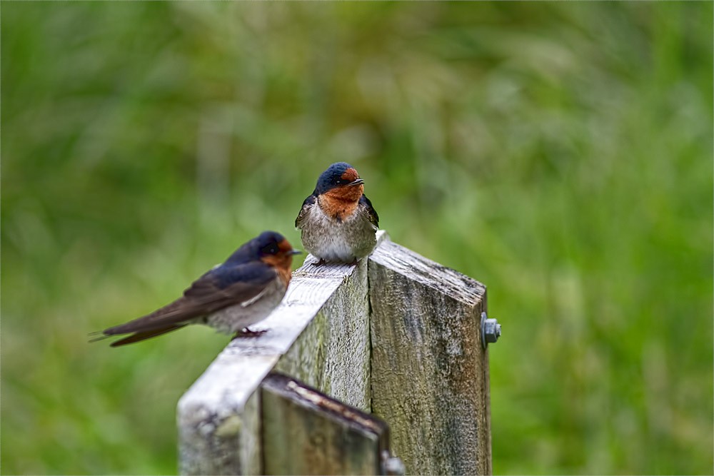
The track quickly rose, and to my bemusement, I kept getting passed by the true mad men of the hills – the trail runners. Stopping at one point to let a group of around 10 pass by, I had to wonder if I would manage to get many photographs of native birds with that forging the way ahead of me.
I headed up, then back down the other side, ended up in the Pararaha Stream Campsite.
Here was a quick break for some lunch, and I had a quick chat with a couple of families staying at the camp for the night, then put the gaiters on, and started headed up the valley.
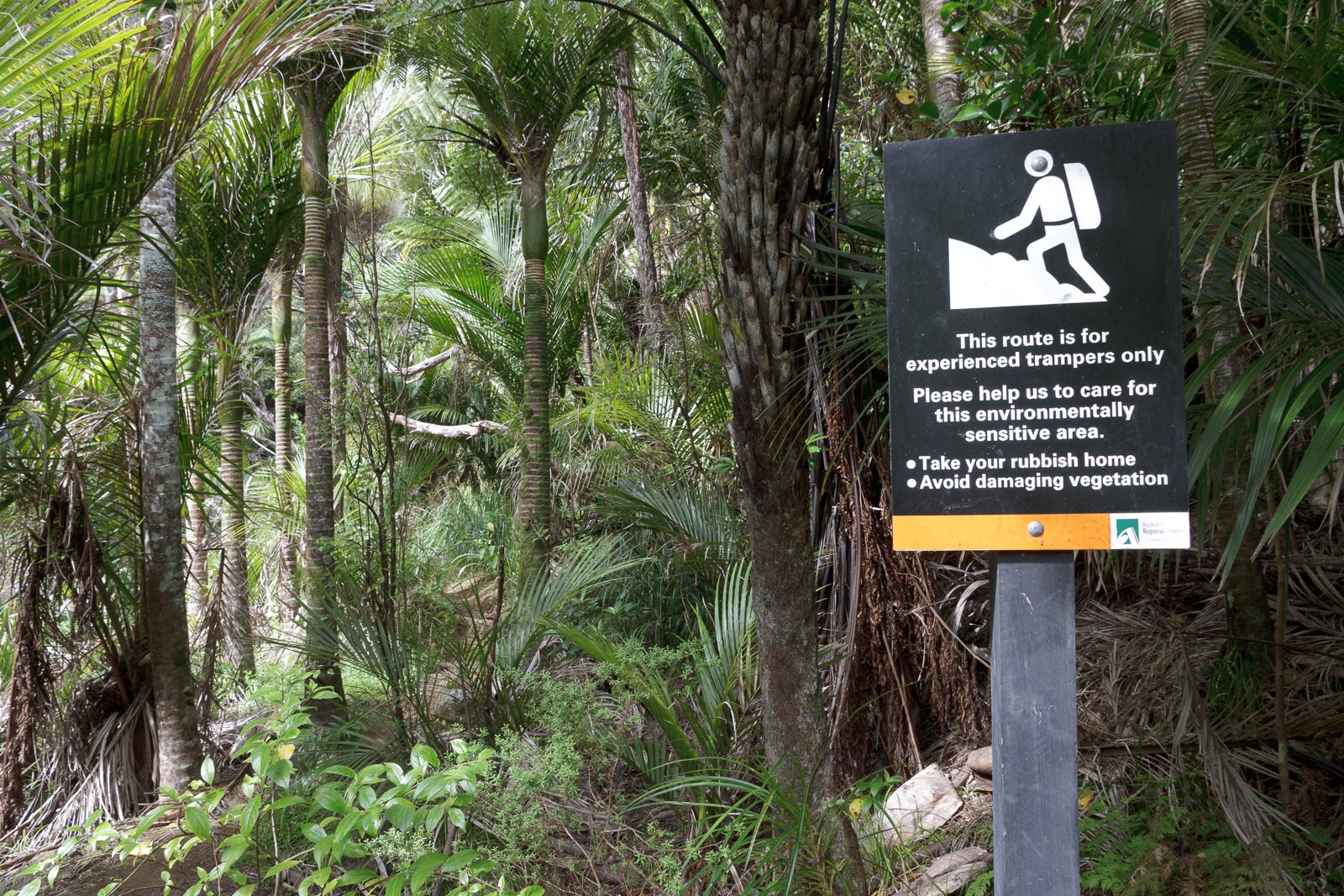
After headed along an overgrown track, I came across a sign stating that the track beyond was for experienced trampers only, and essentially unmaintained. Exactly what I was looking for.
The track started to cross back and forth over the stream – combining heavily overgrown tracks with some good rock hopping up the stream, until I finally got to a waterfall flanked either side by high cliffs, that I struggled to say a way past. Backtracking several times, I ended up doing some serious bushwhacking, but was unable to pick up the track again. Returning back to the waterfall, I evaluated my options, and weighing the facts that I didn’t really know where the path continued, my knee was starting to hurt a bit, and the amount of sunlight I had was starting to run out, I decided to call it quits this time and head back to the Pararaha Stream Campsite for the night.
Getting back to the camp, I also realised there wasn’t a whole lot of trees to put the hammock up in. After considering a couple of palm trees, I decided the safest option was to sling the hammock up under the shelter, providing somewhere to put the hammock up, as well as cover overhead.
After catching up with the family staying at the campsite (and lending them my mozi-repellant) – I cooked up some dinner, and settled into my first night in the Hammock.
Hammock sleeping was something new to me. I had set the hammock up before, but not slept in it, so set up was relativity easy, utilising the posts in the shelter. On retiring for the night, I crawled/squirmed into the sleeping back, and promptly feel asleep.
Waking up in the middle of the night, I soon realised that the one requirement of hammock sleeping in anything other than tropical weather, is some kind of insulation underneath your back and butt. My jacket, which was rolled up as a pillow, was recommissioned as a sleeping underlay, sitting along the length of my torso. After a bit of mucking around, the chill was gone, and back to sleep it was.
The next morning, I had breakfast, broke camp (made very quick by the use of a hammock and snake skins), and headed towards the beach, having decided that route would be a bit easier than the hill climb I had done the day before. I was wrong.
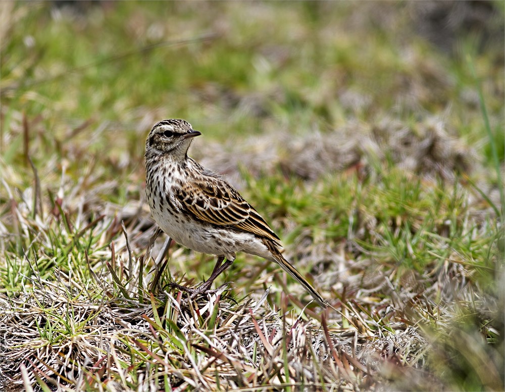
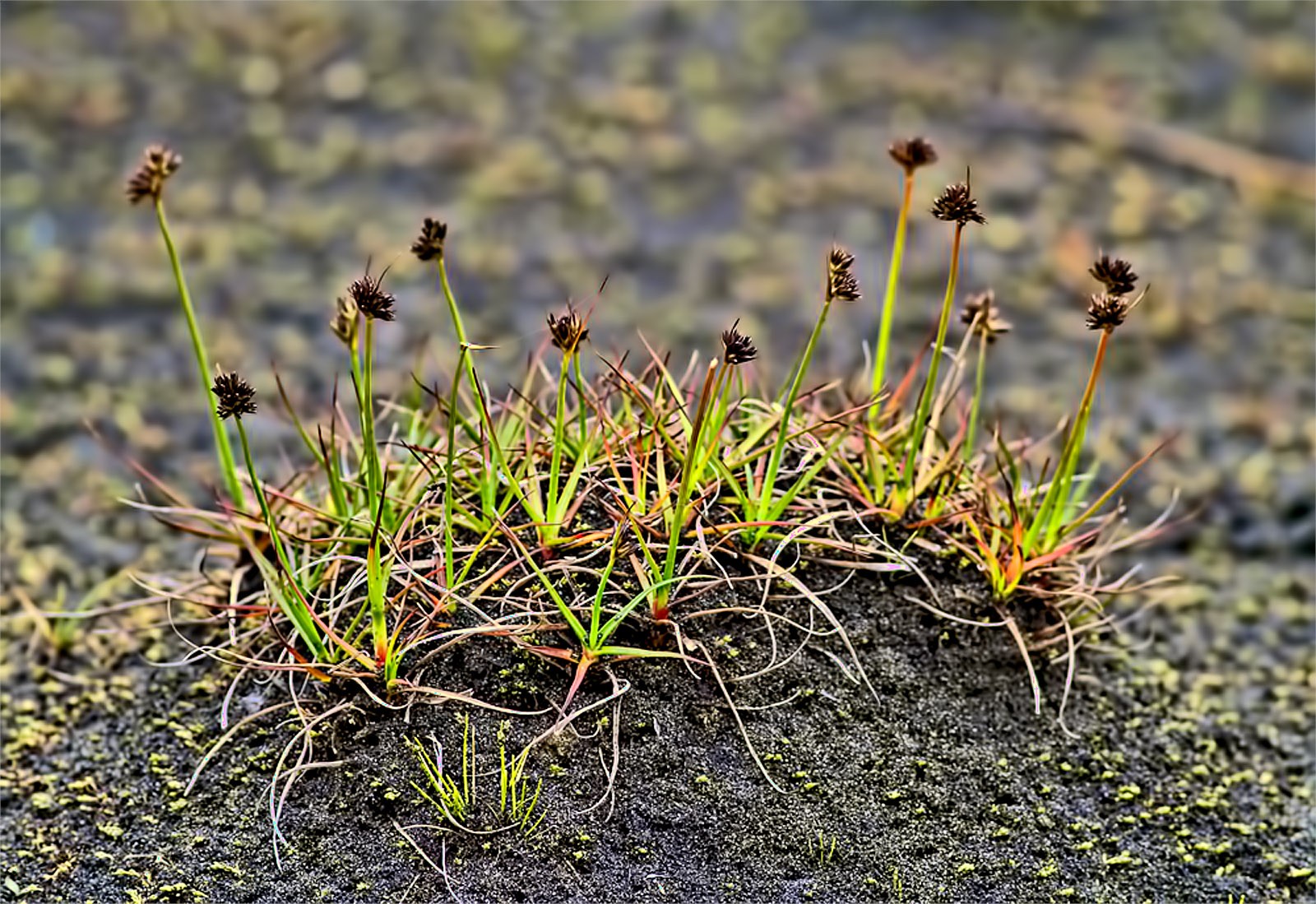
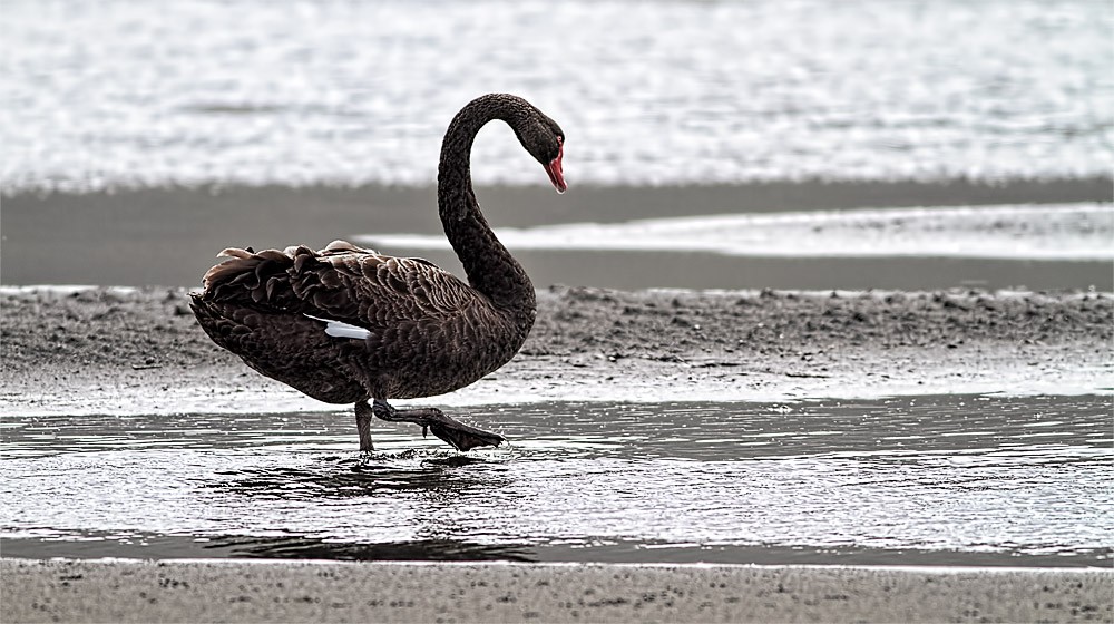
I guess it’s very easy to think of a walk down a beach as a relaxing thing. No so when you are walking up and down dunes with a full pack on your back. However, there was also a mass of bird to photograph, and the environment in the wetlands and dune was primal and absolutely beautiful.
Realising that I couldn’t take a direct line through the wetlands (without getting knee deep in swamp), the walk back took a lot longer than expected, and also resulted in a lick of sunburn, as I was fooled into thinking the overcast sky wouldn’t burn me.
Overall though, it was a great walk, and after reading more about the track, I am determined to head back soon and complete the original plan.
Summary
Location: Whatipu
Grade: Hard – un-maintained, easy to lose track.
Length:20.9km
Time:2 days
Party Size:1


